 Sounding
Line

Goodwin Sands
Where charts, shoals and wreck history converge
Interpretive routes can use the Sands as a wider lesson in why this coast accumulated so many maritime stories.
Explore on Dover Strait Wreck Stories →A yacht passage through the Dover Strait can begin as a day of chalk cliffs, tide tables and busy shipping lanes. Then a name on the chart changes the mood: SMS G85, a German torpedo boat lost in the fighting of April 1917.
From the cockpit, there was nothing theatrical about the morning. The yacht had cleared Dover with a practical rhythm: lines stowed, fenders in, coffee secured before the first uneasy roll beyond the harbour wall. France sat pale on the horizon. Ferries appeared and vanished in the traffic lanes, while the white cliffs behind us slowly flattened into a bright edge of land.
It was, in every visible sense, an ordinary yacht trip. The unexpected part arrived not as a glint beneath the surface or some newly discovered object, but as a small shift in attention. A chart reference, a change of heading and a few sentences from the skipper turned open water into a historical location. What we had “found” was not a wreck unknown to history; it was the meaning of a place we might otherwise have sailed straight across.
The Dover Strait compresses geography. England and France face one another across a narrow channel, commercial traffic moves through at scale, and centuries of military and merchant navigation overlap beneath the surface. That layering is easy to miss from a yacht. You see tide rips, buoys and wakes. The archive sees patrol lines, barrage routes, losses and rescues.
During the First World War, Dover was not simply a ferry port. It was a crucial naval base. The Royal Navy’s Dover Patrol was tasked with defending the Strait, protecting communications with France and Flanders, and contesting German naval movement through the Channel. The coastal command system around Dover existed because this narrow waterway mattered strategically.
On a present-day passage, that history does not announce itself. There is no monument rising from the sea. The landscape is working water: wind against tide, regulated shipping, fishing boats, pilot craft and the constant judgement required to keep a small yacht comfortably outside the paths of much larger vessels.

That contrast is what made the moment striking. The skipper pointed to the area associated with G85 and explained why the name appears so often in accounts of the Second Battle of Dover Strait. The discovery was contextual rather than archaeological: suddenly the sea was not blank space between two coasts, but a place where a specific ship, crew and night action had become part of the seabed story.
SMS G85 was one of the Imperial German Navy’s large torpedo boats, built by Germaniawerft at Kiel. She was launched in July 1915 and entered service later that year. Vessels of this type were fast, oil-fired warships designed for fleet and torpedo work, with a silhouette closer to a destroyer than to the small coastal craft the phrase “torpedo boat” can suggest today.
By 1917, German torpedo-boat forces operating from Flanders were striking at Allied positions and patrol infrastructure in the Channel. Dover’s importance made the Strait a place where patrols, bombardment attempts and interception could collide very quickly, especially at night.
Published naval references differ slightly on some technical figures, but the broad profile is consistent.
Historical note: contemporary and later naval accounts identify HMS Swift as the British flotilla leader that torpedoed G85 during the night action. Accounts of the fast-moving engagement vary in some details, so this article avoids reconstructing unverified moments that are not needed to understand the site.
German torpedo boats entered the Channel in several groups on the night of 20 April 1917. One group moved against Dover and the Dover Barrage, part of the wider system intended to restrict hostile movement through the Strait. The attack took place in darkness, with coastal fire, fast ships and rapidly changing relative positions.
British flotilla leaders HMS Swift and HMS Broke encountered the German force. What followed was a brief, violent close-range action. Swift is recorded as having torpedoed G85. Broke rammed another German torpedo boat, G42. Both German vessels were lost during the fighting.
German torpedo-boat groups move into the Channel, with objectives including Dover, Calais and the patrol barrier.
The operation develops around the Strait amid coastal defences and patrol activity.
The British flotilla leaders encounter German boats in a confused night action; G85 and G42 are sunk.
There is a temptation, when telling a wreck story, to invent a cinematic detail: a last message, a visible object on the surface, a modern diver’s dramatic discovery. None is necessary here. The documented facts already carry the weight. A fast warship launched less than two years earlier was destroyed in a narrow sea route that thousands of people still cross every day.

The German “large torpedo boat” of this period was a substantial high-speed combat vessel. G85’s published specifications place her at roughly 83 metres in length, with multiple torpedo tubes and naval guns. The term belongs to the naval language of its time, not to the scale of a modern recreational boat.
From a yacht, a historic wreck-site is usually experienced indirectly. The sea surface does not become transparent because the chart contains a famous name. Depth, visibility, tide, traffic separation, local restrictions and the condition of the wreck itself all matter. Responsible interpretation means understanding what is below without promising that it can be seen from above.
That distinction matters in the Dover Strait. It is a demanding navigation area, not an open-air museum where a leisure boat simply stops wherever it chooses. A skipper’s route is shaped first by safety, weather, tide and traffic. Historical points are interpreted only where the passage plan makes that appropriate.
The Goodwin Sands and the approaches to Dover have long been associated with shipwreck and rescue. Historical RNLI material describes the Goodwins as a graveyard of ships, while Dover’s lifeboat history records repeated service in a coast where shoals, weather and traffic have always demanded respect.
These stretches of water often appear within the day's navigation window. Each image leads to the sailing where that landscape is most often interpreted from the deck.
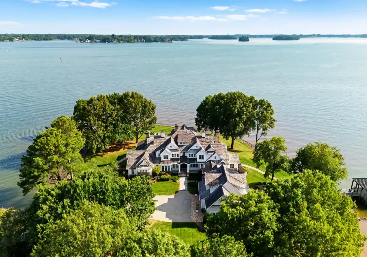

Sounding Line sailings are small-group yacht passages built around the maritime landscape of the Dover Strait. The emphasis is interpretation rather than spectacle: a skipper-led route, researched historical context, chart references and time on deck to understand how geography shaped events.
View historical sailings →Once the name G85 has been spoken, the rest of the Strait looks different. The cliffs are still bright. The ferries still move on schedule. But every buoy starts to suggest a reason for being where it is, and every patch of broken water raises a question about depth, bank and current.
That is the real appeal of a history-led sailing day. It does not turn the sea into a theme park. It gives the existing landscape more dimensions. The same route can hold modern navigation, wartime history, lifeboat heritage and the physical geography of the Channel without exaggerating any of them.
By the time Dover comes back into view, the “unexpected find” has become something quieter and more durable than a treasure story. It is the recognition that a modern leisure route can cross a documented historical event without a signpost, marker buoy or visible ruin. The place was there all along; the journey changed because someone knew how to read it.
All routes are surface passages. They do not include diving, touching wrecks or removing material. Final tracks depend on weather, tide, traffic and skipper assessment.

A small-group passage from Dover focused on the 1917 naval landscape, the story of SMS G85 and the wider wreck geography of the Strait.
Price includes 20% VAT and the items listed above. Travel to/from Dover, parking, full meals and optional personal insurance are not included.
Gallery view: Goodwin Sands →
A private vessel for up to six guests, with extra time for chart-based interpretation and a route shaped around the day’s conditions.
Price is per yacht for up to six guests and includes 20% VAT, skipper, fuel allowance, harbour fees and refreshments. Catering upgrades and travel are excluded.
Gallery view: Dover approaches →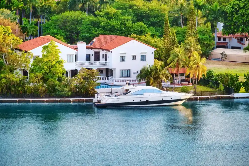
An evening sailing shaped around the changing light over Dover, with interpretation of patrol routes and wartime coastal defence.
Price includes 20% VAT, skipper, guide, safety equipment, harbour fees and the stated supper box. Alcohol, transfers and accommodation are excluded.
Gallery view: Channel passage →Public dates are offered from late spring into early autumn. Individual departures remain subject to sea and weather conditions.
Historical interest does not override seamanship. These are yacht passages in a busy stretch of water, so route decisions stay with the skipper.
No visibility is promised. The experience is a surface interpretation of the documented wreck area and wider historical route. Sea state, depth, visibility, traffic and the passage plan determine what can safely be done.
No. These sailings are non-diving excursions. Guests do not enter wrecks, remove artefacts or conduct recovery activity.
The operator may alter the route, delay departure, shorten the passage or reschedule where conditions are unsuitable. Safety and harbour instructions take priority over a particular historical waypoint.
No sailing experience is required for standard passenger bookings. Guests should be comfortable moving aboard a yacht and should disclose any mobility concern that may affect safe boarding before the date is confirmed.
We will use your preferred date, party size and route interest to reply with the most suitable departure option and current availability.
Norfolk Historic Shipwrecks LTD
217 College Road, Norwich, NR2
3JD
+441603630550
[email protected]